Groundwater Exploration & Geophysical Investigation
Every successful borewell starts with understanding the ground beneath the project. Our groundwater exploration and geophysical investigation services help identify comparatively favourable groundwater zones before drilling begins – reducing uncertainty, cost and the risk of unproductive bores.
Groundwater conditions can vary significantly from one location to another. Geological formations, weathered zones, fractures, aquifer characteristics, depth and recharge conditions all influence the outcome of a drilling project. A scientific survey gives the project team a clearer picture of these conditions and supports better decisions on where – and how deep – to drill.
How our survey works
- Desk study & site planning – where a site has no drilling history, it is first located on the 1:50,000 scale topographic sheet and the physical terrain is reviewed; a site visit is made where required.
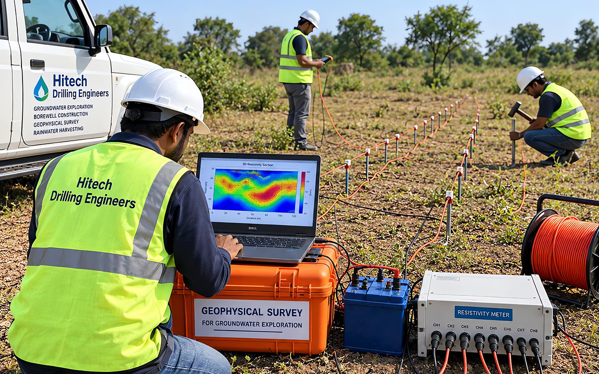
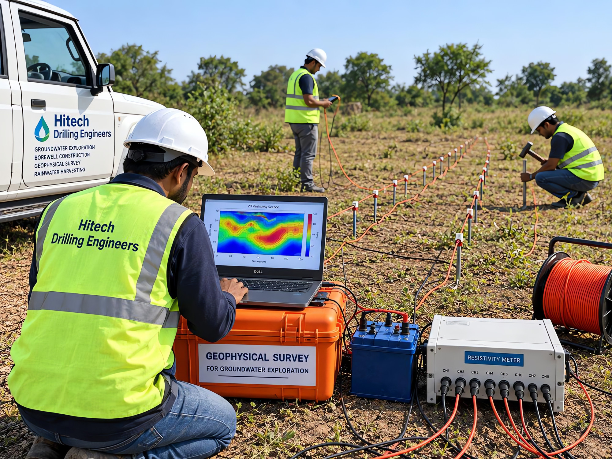
- Field data acquisition – electrodes and instruments are deployed along survey profiles using the Schlumberger array or another electrode configuration suited to the terrain.
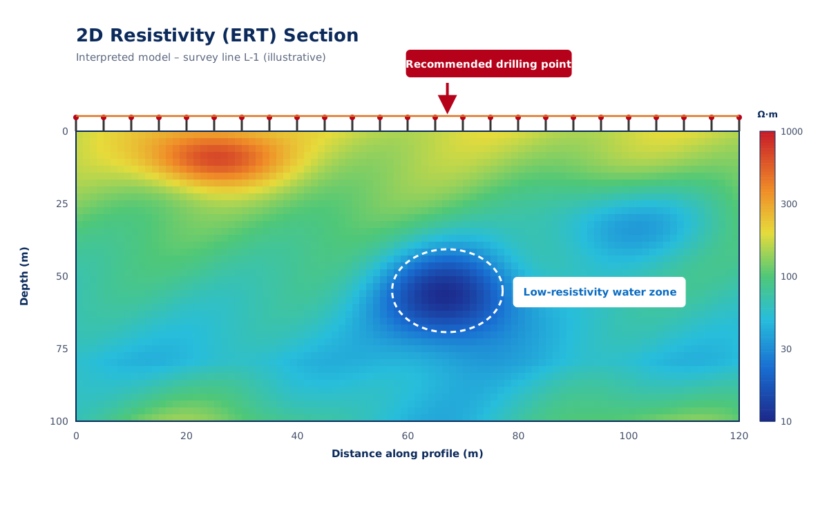
- Interpretation – every formation has its own electrical resistance. Field readings are processed with interpretation software to infer the type of formations, weathered and fractured zones and potential water-bearing layers – typically to depths of up to about 1,500 ft.
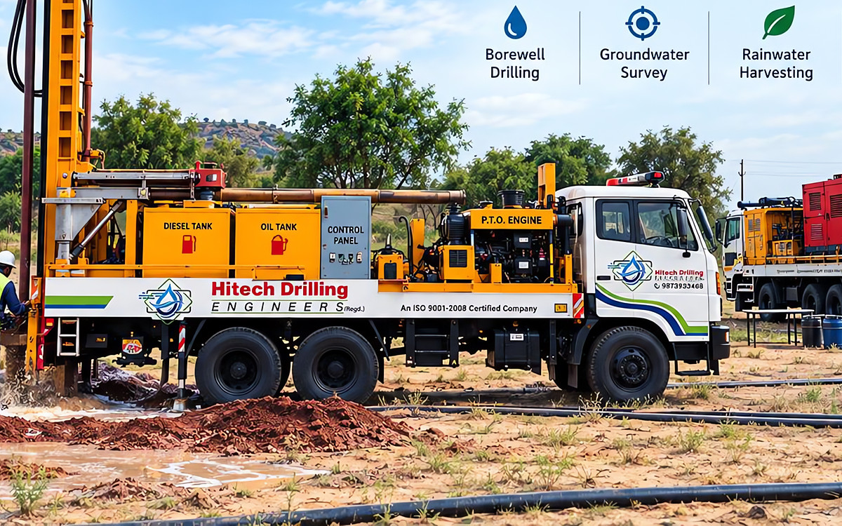
- Recommendation – we identify suitable drilling points and indicate the expected formations, likely depth range and the type of rig best suited to the ground.
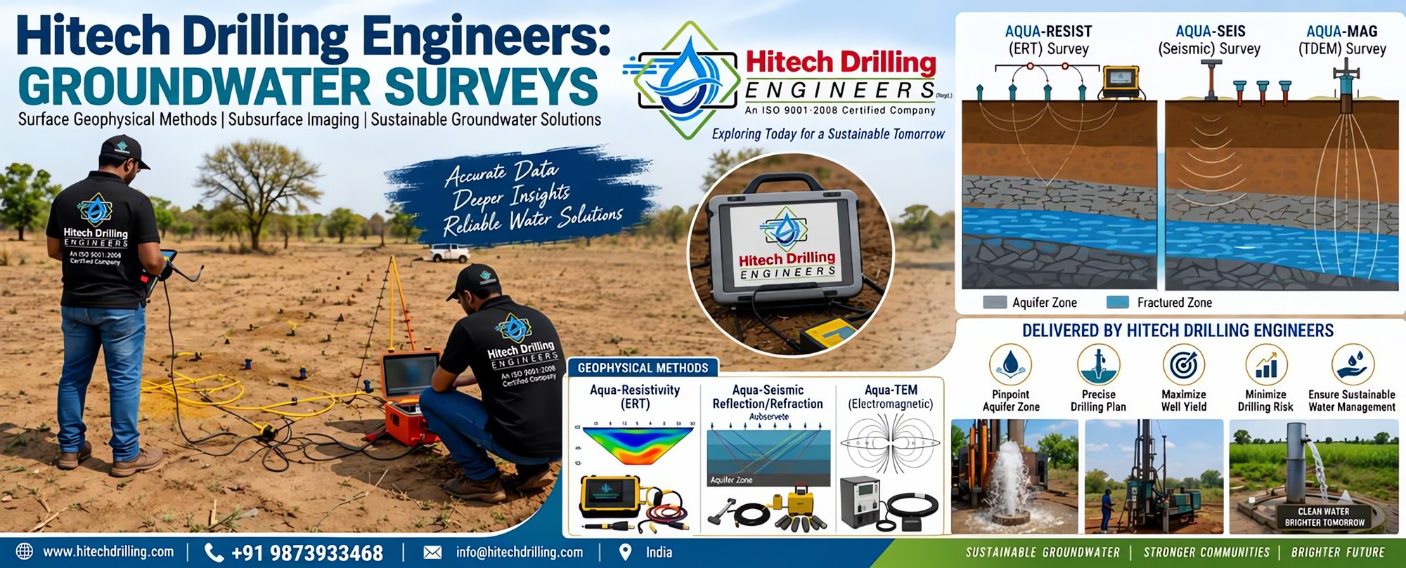
Aqua-Resist (ERT) Survey
Electrical Resistivity Tomography and vertical electrical sounding to image resistivity variation with depth and locate aquifer and fractured zones.
Aqua-Seis (Seismic) Survey
Seismic refraction / reflection profiling to understand layer boundaries, depth to bedrock and weathered-rock thickness.
Aqua-TEM / TDEM Survey
Time-domain electromagnetic sounding for deeper investigation and for differentiating fresh and saline water-bearing formations.
What you gain from a survey
- Pinpoints comparatively favourable aquifer zones
- Precise, site-specific drilling plan
- Helps maximise well yield
- Minimises drilling risk and unproductive bores
- Guides selection of rig and drilling method
- Supports sustainable groundwater management